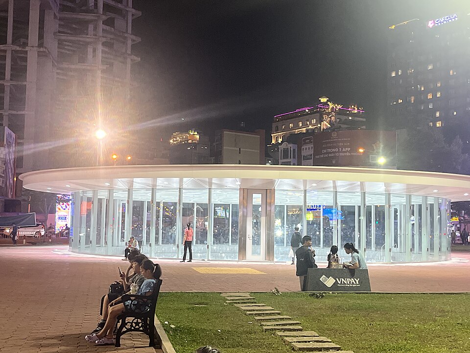
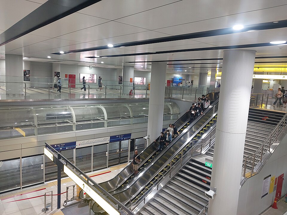
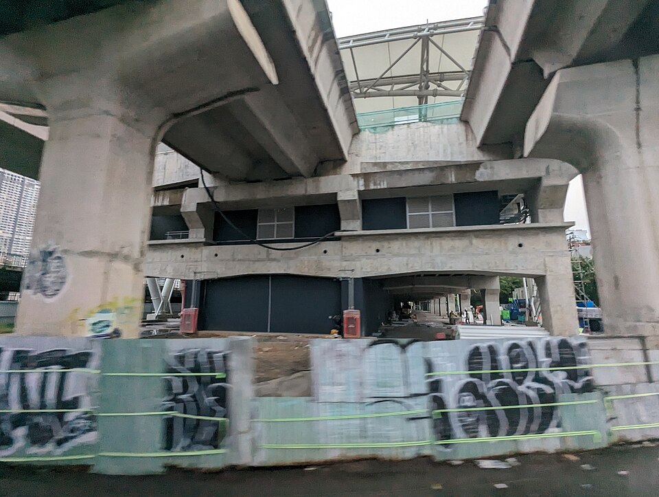
Ben Thanh station skylight and street-level space · 24 December 2024.
Xuanphuocle · CC0 · Original photo
Resized; full frame retained.
_(53489340770).jpg)
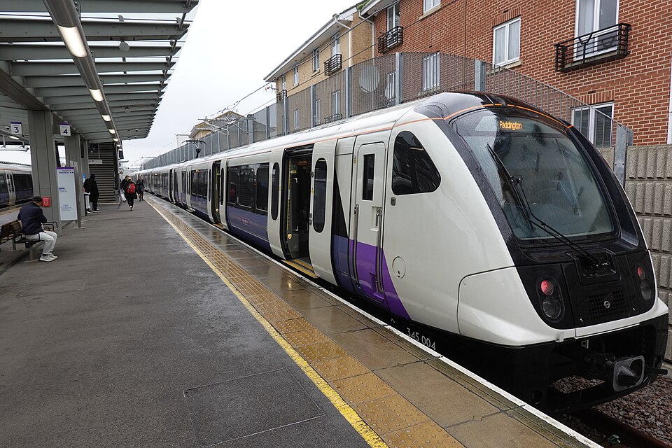
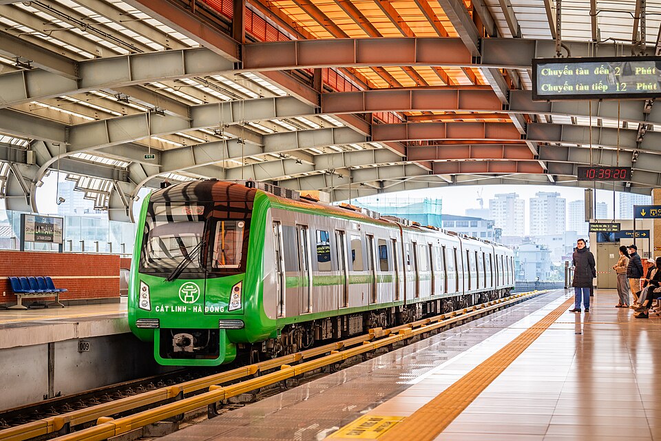
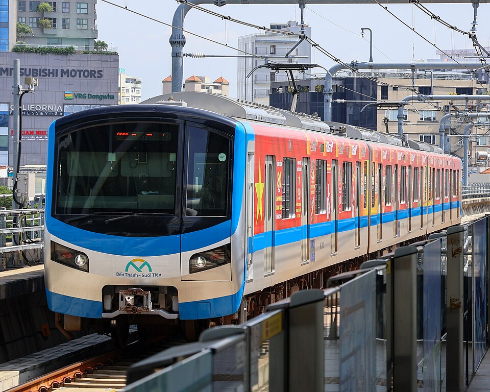
Line 2A train at La Thanh · 23 December 2023. An operating line, not the Line 3 underground section.
Takeshi Aida from Hong Kong, Hong Kong · CC BY-SA 2.0 · Original photo
Resized; full frame retained.

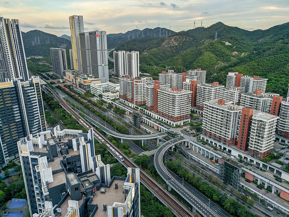
Tanglang Depot and development above it · 25 May 2021. Area context, not a housing inventory.
Sparktour · CC BY-SA 4.0 · Original photo
Resized; full frame retained.

Shibuya Scramble Square and surrounding construction · 17 February 2022.
Syced · CC0 · Original photo
Resized; full frame retained.

Toyama-eki tram stop · 26 July 2020, after the north–south link opened.
SONIC BLOOMING · CC BY-SA 4.0 · Original photo
Resized; full frame retained.

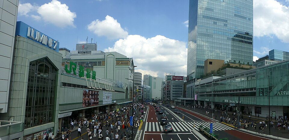
Shinjuku South Exit: JR station, LUMINE 2, pedestrians and the Busta complex · 10 September 2016.
Nesnad · CC BY-SA 4.0 · Original photo
Resized; full frame retained.